By Cheryl Alafia Thomas
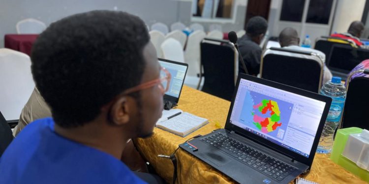
The Food and Agriculture Organization of the United Nations (FAO) has trained key livestock and veterinary officers on basic mapping, spatial analysis and data visualization of vaccination coverage to strengthen animal disease surveillance in the country.
The Director of Livestock and Veterinary Services, Saidu Bamayange, recounted on how data analysis and visualization was stuck to the Epidemiology Unit, Livestock and Veterinary Services Division, which analysed, interpreted and prepared all health reports transmitted from districts. Then, he noted, the reports were presented at the Weekly Emergency Preparedness Resilient Response Group (EPRRG) meeting.
According Mr Bamayange, this training employed the Geographic Information System (GIS) to enable Livestock and Veterinary Services Personnel at district level to undertake data preparation ventures as against EPRRG’s weekly meeting.
The District Surveillance Focal Point at Bombali District, Ousman J. D. Kamara, outlined lack of knowledge in Geospatial technologies as the bottleneck of data analysis and visualization at district level. He went on to share his main responsibilities of collecting surveillance data for priority animal diseases and pests, which are transmitted by the District Livestock Officer to the Ministry of Agriculture and Food Security headquarters without analysis.
Mr appreciated FAO ECTAD for its peculiar contribution in uplifting the Livestock sub-sector, describing it as a national capacity-building approach.
The five-day long training (August 6 to 10) sent the trainees away with learning materials like step-by-step manuals, sample datasets and reference materials.
The FOA, with financial support from the United States Agency for International Development (USAID), under the Global Health Security Program (GHSP), sponsored the training.


